Topographical Survey Experts serving clients in Shrewsbury and Nationwide
As topographical survey experts, Battlefield Land Surveys produces detailed plans using the latest equipment. Our experienced surveyors will provide you with a topographical survey for an urban or green field environment that meets the very highest industry standards.

Land Surveys
We implement a topographical survey in order to produce a detailed and highly accurate plan of a specific site or area of land. Thanks to our cutting-edge technology we can easily identify features such as buildings, site boundaries, trees, utilities covers, site levels and many other attributes that you may need to recognise. If required, drainage information can also be obtained by lifting all foul and storm manholes on site and recording outgoing invert levels, pipe sizes and direction of flow. All connections are shown wherever possible.

Our Surveying Equipment
We use our very own bespoke in-house software to create drawings that are accurate and easy to understand. Our surveying equipment includes:
- Trimble GPS
- One man robotic
- Trimble theodolites
- Leica theodolites
- Total station theodolites

Send Us A Message

Utility Services
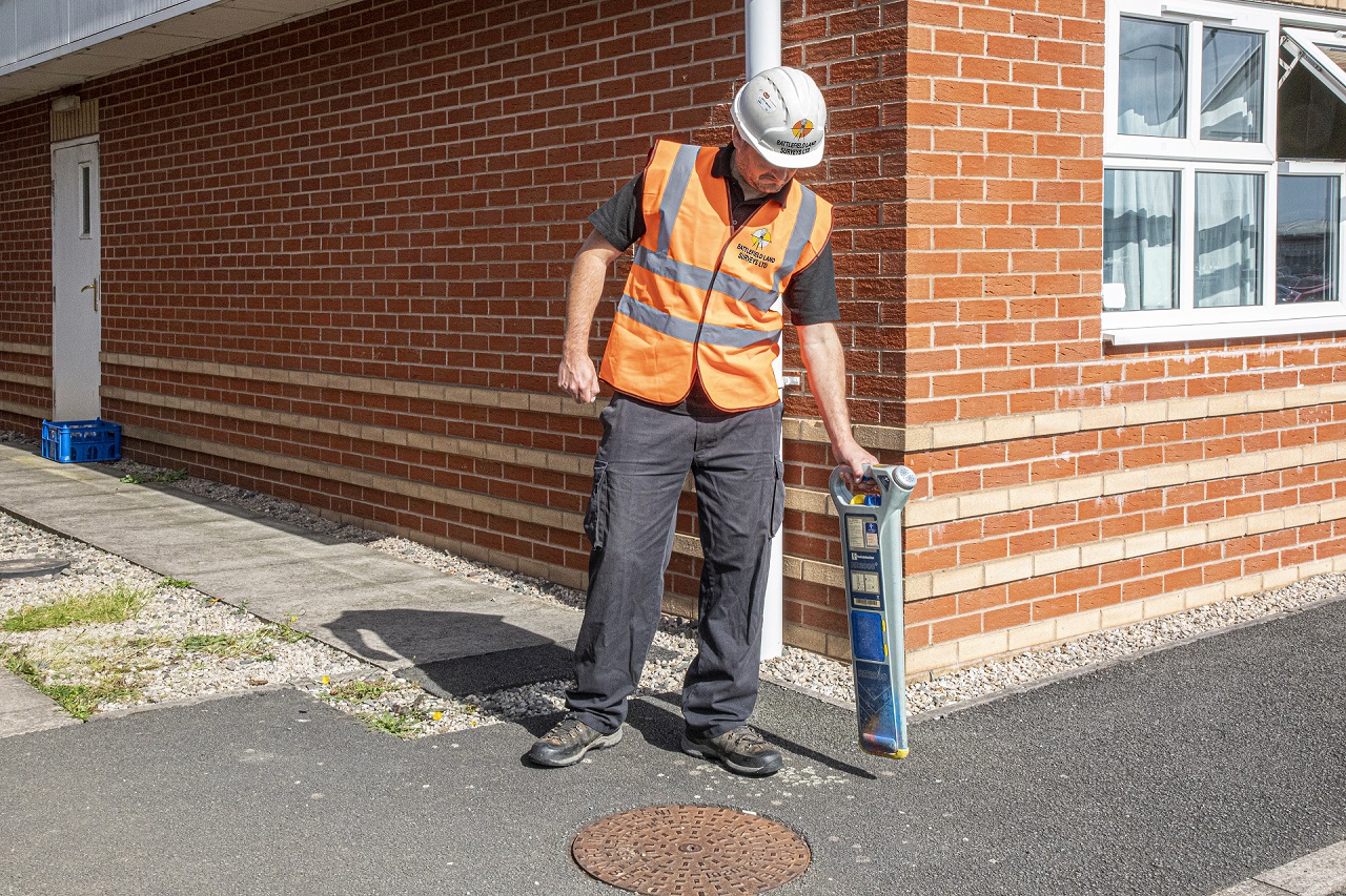
When it’s essential to know where electric cables, telephone lines and other utilities are, Battlefield Land Surveys has the experience and equipment that you need. We’ll attempt locate cables below ground using our radio detection equipment, however if that is not possible we can also obtain local authority Stat Plans.


